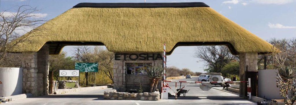
Etosha National Park
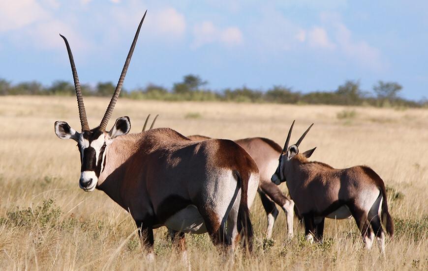
Etosha National Park is located in the northern part of Namibia which is a premier wildlife reserve in Southern Africa. It is covering an area of about 22,270 km² which is home to 114 species of mammals including the big 4 (lion, leopard, rhino & elephants) as well as a plains game like zebra, antelopes, small predators and over 330 species of birds. You n also find species that are endemic to northern Namibia such as the Black-Faced Impala and the smallest antelope the Damara Dik Dik.
The Park consists mainly of saline desert, savannah and woodlands. The dominant feature of Etosha National Park is the Etosha Pan which measures 130 kilometers in length and up to 50 km in width at places.
The vast plains of this dried lake are a shimmering spectacle providing excellent photographic opportunities.This Salt pan is dry for most of the year but during the rainy season it is temporarily flooded. When this happens the pan is home to thousands of Pelicans and Flamingos and the Pan is one of the most important breeding grounds for this Flamingo population..
The park is situated between The Namib and Kalahari deserts. The animals in the park relies on man-made water holes. During the dry season these waterholes attract a variety of species which is any photographers dream. The views of elephants, giraffes, lions, hyenas, springbok, zebra and more all drinking together in order to survive the dry winter is something that you don’t see in many other parts of Africa.
The park’s landscape goes through a major change between the rainy season and the dry season. When it rains the park is green and lush which is in stark contrast to the dry season when the park is dry and barren. The game viewing is best in the dry season (May – September) when the bush is clear and the game tends to congregate around the watering holes. This period is the winter period in Etosha Park and the temperatures are mild